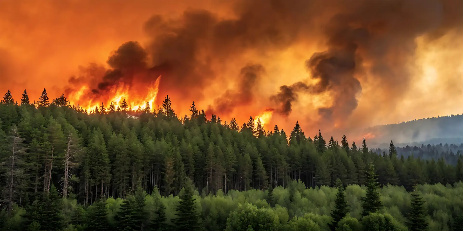
From Wildfire Signal to Verified Alert
LoonTerra AI is an Edmonton, Alberta company building an autonomous wildfire monitoring and verification network for Canada — portable hives of wildfire drones, coordinated by an AI risk engine, that turn a suspected hotspot into a confirmed, dispatchable location in minutes.
From Detection to Decision
In under three minutes, see how LoonTerra AI turns a wildfire signal into a verified, dispatchable alert — and why verification is the missing link in wildfire response.
Wildfire Detection & Verification for the Frontline
One coverage network, priced by protected area, for the organizations that carry wildfire risk and response responsibility.
Government & Public Safety
Provincial and federal wildfire agencies get a decision-augmentation layer that verifies a signal and hands off a dispatchable, confidence-scored location — in minutes, not hours.
Utilities & Critical Infrastructure
For utilities, power corridors and pipeline rights-of-way are long, narrow, and exposed to ignition risk. Area-based coverage cuts asset-at-risk exposure and ignition-source liability.
Commercial Forestry
Operators managing large, fire-exposed land holdings get autonomous patrol and early verification without building fixed camera or tower infrastructure.
AI Wildfire Detection, Verified by Drones
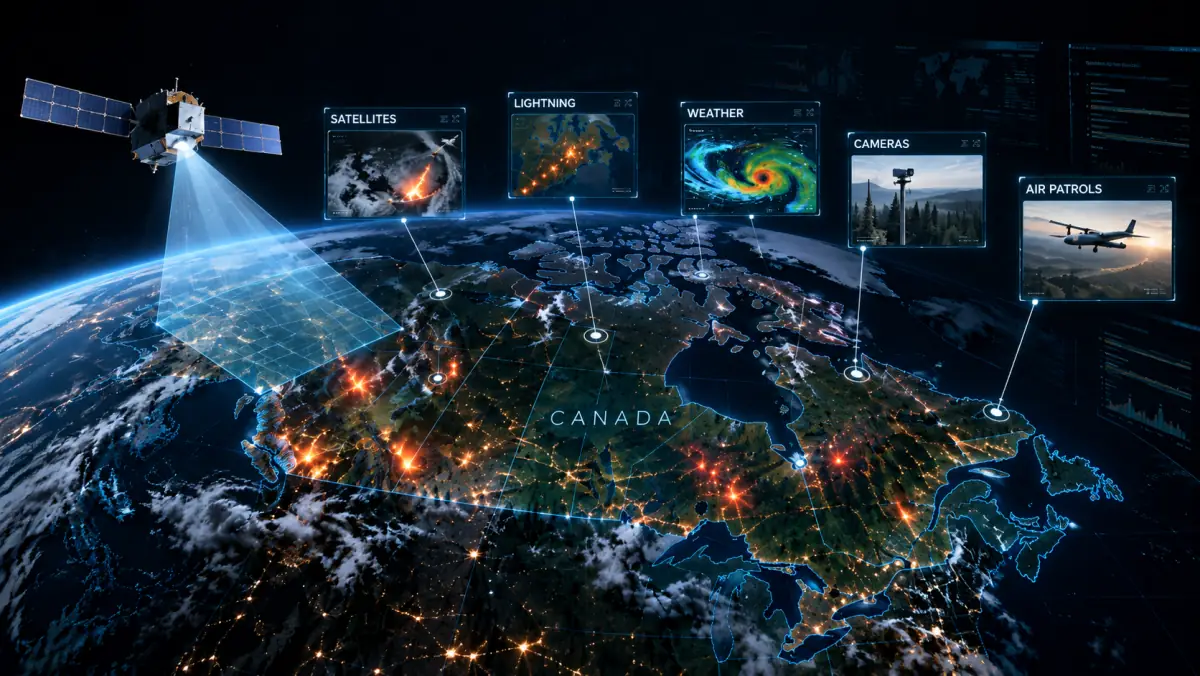
Wildfire detection already exists — lookout towers, satellites, aircraft patrol, fixed cameras. The gap is verification. LoonTerra sits between broad risk signals and real firefighting response, confirming a fire and getting a dispatchable alert to responders before a crew is ever sent to check.
A Risk Signal Comes In
A satellite pass, lookout tower, or fixed camera flags a possible hotspot — broad, unconfirmed, and not yet actionable.
The Hive Verifies
Autonomous drones change flight path and viewing angle to gather multi-angle evidence, then return a confidence-scored, dispatchable location — not just a "possible" alert.
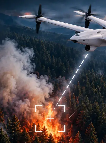
Reactive Verification
A clear machine signal triggers immediate deployment to confirm it on-scene.
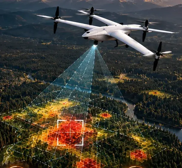
Predictive Verification
Live risk modelling pre-positions aircraft ahead of high-risk conditions.
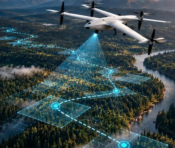
Strategic Patrol
Autonomous wildfire monitoring: routine UAV patrols over historically fire-prone areas keep watch even without a triggered signal.
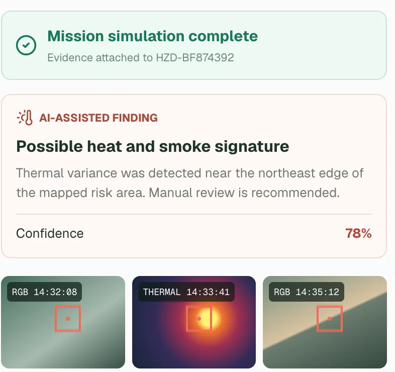
A Verified Alert Ships
Responders receive a confirmed, confidence-scored location — ready to act on, not investigate first.
Autonomous intelligence that verifies every wildfire in minutes — so none becomes a disaster.
We're proving the model with a single hive, then scaling hive density until an active verification network watches over every wildfire season worldwide — driving risk, loss, and lives lost toward zero.
Frequently Asked Questions
What is LoonTerra AI?
LoonTerra AI is a wildfire technology company based in Edmonton, Alberta, building an autonomous wildfire monitoring and verification network for Canada. Portable hives of drones, coordinated by an AI risk engine, confirm suspected wildfires and give responders a confidence-scored, dispatchable location within minutes instead of hours.
What is wildfire verification, and how is it different from wildfire detection?
Wildfire detection flags a possible fire. Satellites, lookout towers, aircraft patrols and fixed cameras all do this, but their signals are often broad and unconfirmed. Wildfire verification confirms whether the fire is real and pinpoints exactly where it is, so crews can be dispatched right away instead of first being sent to check. LoonTerra AI focuses on verification and works alongside existing detection systems rather than replacing them.
How do drones verify a wildfire?
When a risk signal comes in, autonomous drones fly to the suspected hotspot and capture evidence from multiple angles and flight paths. AI analyzes that evidence and produces a verified alert with a confidence score and a precise location. LoonTerra uses three modes: reactive verification responds to an incoming signal, predictive verification positions drones ahead of high-risk conditions, and strategic patrol routinely covers historically fire-prone areas.
Who uses LoonTerra AI's wildfire verification?
LoonTerra AI is built for organizations responsible for wildfire risk and response: provincial and federal wildfire agencies, utilities and pipeline operators protecting long infrastructure corridors, and commercial forestry companies managing large land holdings. Coverage is priced by protected area, and demos are available by request through our contact page.
Ready to Build Verification Into Your Wildfire Response?
We're standing up our first hive and opening conversations with government, utility, and forestry partners who carry wildfire risk.
Contact Us